Showing 10 – 18 of 22 maps
Labeled map of Angola displaying provincial administrative boundaries. Free to download in JPG, PDF, or SVG under a Creative Commons…
Mozambique map showing all provinces and the capital city of Maputo with clear labels. Available in JPG, PDF, or SVG…
Map of Sudan showing States / Wilayat and Regions with names. Download in JPG, PDF, or SVG under a Creative…
Labeled map of the United Republic of Tanzania covering all regions (mkoa). Free to download in JPG, PDF, or SVG…
Labeled map of Uganda showing districts and the capital city of Kampala. Free to download in JPG, PDF, or SVG…
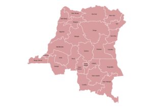
Map of the Democratic Republic of the Congo displaying provinces and the capital, Kinshasa. Available in JPG, PDF, or SVG…
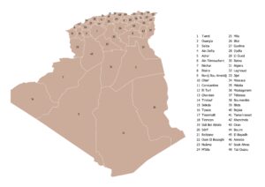
Algeria map showing its administrative Provinces/Wilayas with clearly marked boundaries and names. Available in JPG, PDF, or SVG under a…
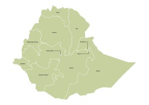
Ethiopia map displaying all regional state boundaries with their names. Free to download in JPG, PDF, or SVG under a…
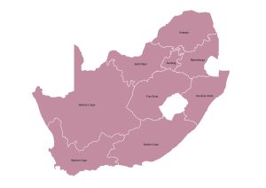
Map of South Africa featuring all nine provinces with boundaries and names. Download for free as JPG, PDF, or SVG…