Showing 19 – 22 of 22 maps
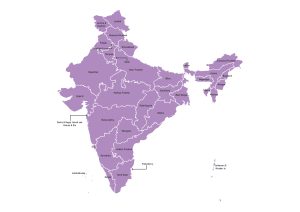
Labeled map of India showing all states and union territories with clearly drawn administrative boundaries. Free to download in JPG,…
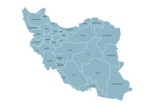
Map of Iran displaying all provinces (Ostanha) with clearly marked administrative borders and names. Available for download in JPG, PDF,…
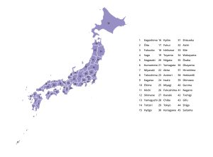
Map of Japan displaying the 47 prefectures (Todōfuken) with numbered labels and clearly marked boundaries. Free to download in JPG,…
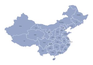
Administrative map of China displaying provinces, autonomous regions, and municipalities with clear borders and labels. Download free in JPG, PDF,…