Showing 10 – 18 of 20 maps
Labeled Spain map showing all autonomous communities alongside the autonomous cities of Ceuta and Melilla. Available in JPG, PDF, or…
Administrative map of Turkey showing its provinces spanning the Anatolian peninsula with names. Download in JPG, PDF, or SVG under…
Labeled Ukraine map displaying all oblasts along with Crimea, Kyiv, and Sevastopol. Available for free in JPG, PDF, or SVG…
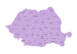
Romania map showing all Counties (Județe) and the Municipality of Bucharest with names. Download in JPG, PDF, or SVG under…
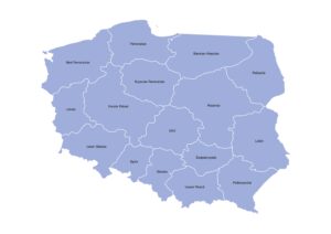
Map of Poland displaying the 16 provinces(Voivodeships) with their names. Free to download in JPG, PDF, or SVG under a…
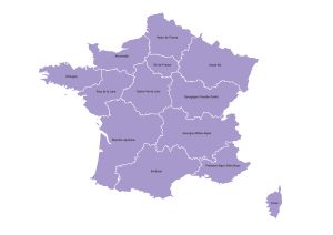
Map of France showing the 13 metropolitan regions with clearly marked boundaries and region names. Available in JPG, PDF, or…
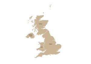
Map of the United Kingdom showing its four constituent countries – England, Scotland, Wales, and Northern Ireland – with clearly…
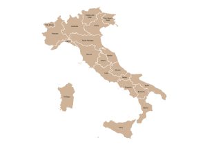
Labeled map of Italy showing the 20 regions with clearly drawn administrative boundaries. Download as JPG, PDF, or SVG under…
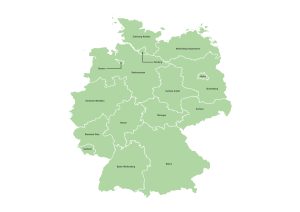
Germany map featuring all 16 Bundesländer (federal states) with clearly marked boundaries and names. Available in JPG, PDF, or SVG…