Showing 1 – 9 of 59 maps
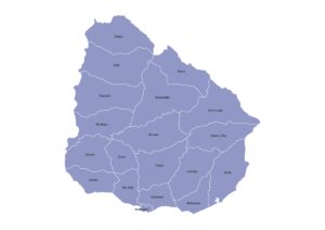
Administrative map of Uruguay outlining the 19 departments with clear labels. Download in JPG, PDF, or SVG under a Creative…
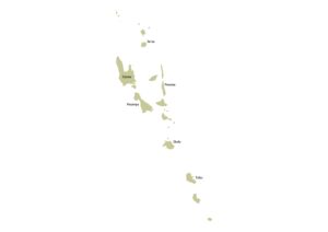
Vanuatu map showing its provinces across the archipelago with labels. Free to download in JPG, PDF, or SVG under a…
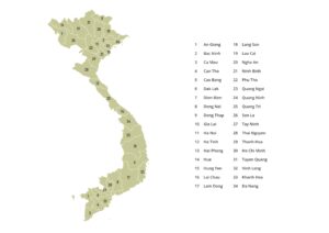
Map of Vietnam featuring its provincial administrative units from north to south with numbered labels. Available in JPG, PDF, or…
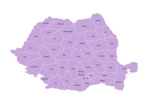
Romania map showing all Counties (Județe) and the Municipality of Bucharest with names. Download in JPG, PDF, or SVG under…
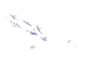
Map of the Solomon Islands displaying all provinces across its Pacific island chain with labels. Free to download in JPG,…
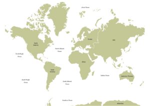
World oceans map showing all major oceans – the Northern & Southern Pacific, Northern and Southern Atlantic, Indian, Arctic, and…
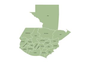
Administrative map of Guatemala displaying department-level boundaries with names. Available in JPG, PDF, or SVG under a Creative Commons license.
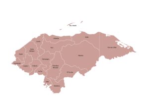
Map of Honduras showing its departments with clearly marked labels. Download in JPG, PDF, or SVG under a Creative Commons…
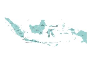
Labeled map of Indonesia showing its provinces spread across the archipelago. Free to download in JPG, PDF, or SVG under…