Showing 10 – 18 of 56 maps
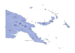
Map of Papua New Guinea displaying provinces across its mainland and island regions with labels. Free to download in JPG,…
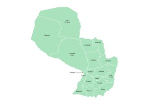
Map of Paraguay outlining departamento boundaries with names. Available in JPG, PDF, or SVG under a Creative Commons license.
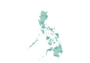
Labeled map of the Philippines showing its administrative regions across the archipelago. Download in JPG, PDF, or SVG under a…
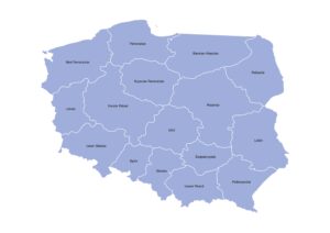
Map of Poland displaying the 16 provinces(Voivodeships) with their names. Free to download in JPG, PDF, or SVG under a…
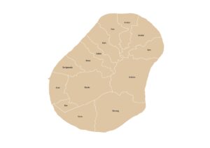
Administrative map of Nauru displaying the 14 districts with labels. Available in JPG, PDF, or SVG under a Creative Commons…
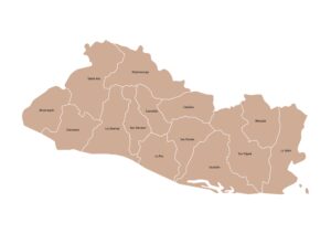
Labeled map of El Salvador with departments. Free to download in JPG, PDF, or SVG under a Creative Commons license.
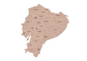
Ecuador map showing mainland provinces with names. Download in JPG, PDF, or SVG under a Creative Commons license.
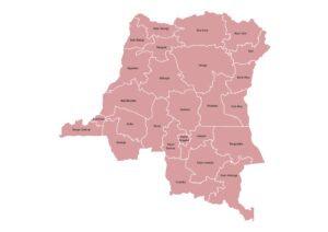
Map of the Democratic Republic of the Congo displaying provinces and the capital, Kinshasa. Available in JPG, PDF, or SVG…
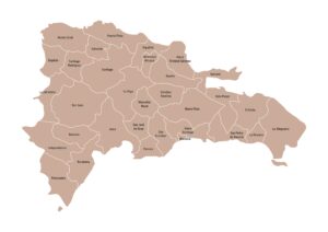
Map of the Dominican Republic showing provinces and the National District with clear borders and names. Free to download in…