Showing 109 – 112 of 112 maps
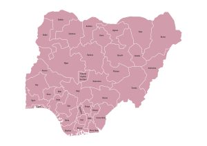
Nigeria map highlighting all the 36 states and the Federal Capital Territory with administrative boundaries and names. Download free in…
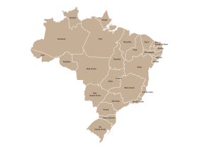
Labeled map of Brazil displaying the 26 states and the Federal District with clearly marked administrative boundaries and names. Available…
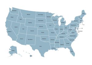
Labeled map of the United States showing all 50 states and the District of Columbia with clearly marked boundaries and…
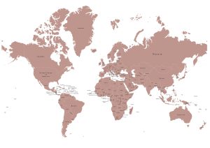
Political world map showing all countries, national borders, and country names across every continent. Free to download in JPG, PDF,…