Showing 100 – 108 of 114 maps
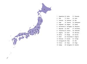
Map of Japan displaying the 47 prefectures (Todōfuken) with numbered labels and clearly marked boundaries. Free to download in JPG,…
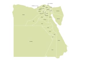
Map of Egypt illustrating all governorates (muḥāfẓāt) with administrative borders and labels. Download free in JPG, PDF, or SVG under…
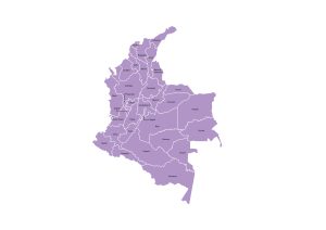
Colombia map outlining all departments and the Capital District with administrative boundaries and labels. Available in JPG, PDF, or SVG…
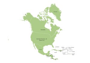
Political map of North America featuring all countries with clear national boundaries and labels. Available for free download in JPG,…
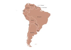
Map of South America outlining all countries with clearly marked national borders and names. Free to download in JPG, PDF,…
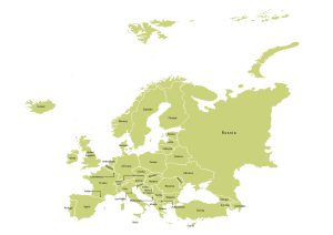
Political map of Europe displaying countries with clearly marked national boundaries and names. Download for free in JPG, PDF, or…
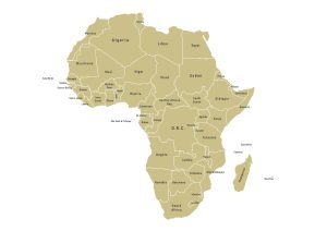
Political map of Africa showing all countries with national borders and country names across the continent. Download in JPG, PDF,…
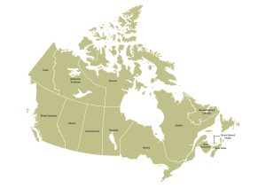
Labeled Canada map showing administrative divisions consisting of provinces and territories with clearly defined borders. Download free in JPG, PDF,…
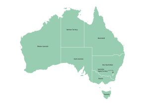
Labeled map of Australia featuring all states and territories with clearly marked administrative boundaries and names. Available for download in…