Showing 19 – 27 of 112 maps
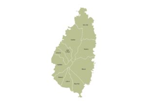
Labeled map of Saint Lucia showing all its districts. Free to download in JPG, PDF, or SVG under a Creative…
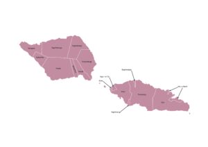
Samoa map showing its traditional political districts (itūmālō) with clearly marked labels. Available in JPG, PDF, or SVG under a…
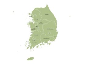
Labeled map of South Korea showing its provincial-level divisions, including provinces, metropolitan cities, and the special city of Seoul. Download…
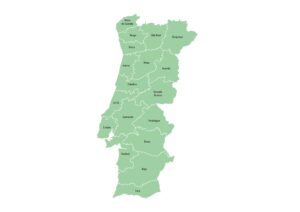
Map of mainland Portugal showing districts and their names. Free to download in JPG, PDF, or SVG under a Creative…
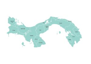
Map of Panama showing provinces and indigenous territories (comarcas) with names. Download in JPG, PDF, or SVG under a Creative…
Map of Palau showing some of its states with labels. Available in JPG, PDF, or SVG under a Creative Commons…
Map of Niger showing administrative regions and the capital district of Niamey with names. Free to download in JPG, PDF,…
Map of the European Netherlands showing all 12 provinces with labels. Free to download in JPG, PDF, or SVG under…
Administrative map of Myanmar displaying all states and divisions with names. Download in JPG, PDF, or SVG under a Creative…